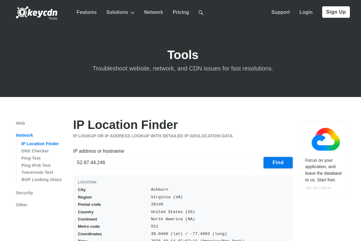
keycdn IP Location Finder
keycdn IP Location Finder is an API listed in the Geocoding category that provides access to get the IP geolocation data through the simple REST API. All the responses are JSON encoded. It is intended for developers who want to integrate this type of geocoding data or functionality into websites, mobile applications, dashboards, automation workflows, research projects, prototypes, or backend services without building the underlying data source or service from scratch. From the supplied API metadata, the supplied listing identifies apiKey as the authentication method; HTTPS support is listed as available. This makes keycdn IP Location Finder a useful integration candidate when a project needs get the IP geolocation data through the simple REST API. All the responses are JSON encoded through a programmatic interface. Because API capabilities, quotas, authentication rules, endpoints, and availability can change over time, the provider documentation should be treated as the current technical reference.
Tool Details
Preview
Related Tools
IPstack
Geocoding
IPstack is an API listed in the Geocoding category that provides access to locate and identify website visitors by IP address. It is intended for developers who want to integrate this type of geocoding data or functionality into websites, mobile applications, dashboards, automation workflows, research projects, prototypes, or backend services without building the underlying data source or service from scratch. From the supplied API metadata, the supplied listing identifies apiKey as the authentication method; HTTPS support is listed as available. This makes IPstack a useful integration candidate when a project needs locate and identify website visitors by IP address through a programmatic interface. Because API capabilities, quotas, authentication rules, endpoints, and availability can change over time, the provider documentation should be treated as the current technical reference.
ipapi.com
Geocoding
ipapi.com is an API listed in the Geocoding category that provides access to real-time Geolocation & Reverse IP Lookup REST API. It is intended for developers who want to integrate this type of geocoding data or functionality into websites, mobile applications, dashboards, automation workflows, research projects, prototypes, or backend services without building the underlying data source or service from scratch. From the supplied API metadata, the supplied listing identifies apiKey as the authentication method; HTTPS support is listed as available. This makes ipapi.com a useful integration candidate when a project needs real-time Geolocation & Reverse IP Lookup REST API through a programmatic interface. Because API capabilities, quotas, authentication rules, endpoints, and availability can change over time, the provider documentation should be treated as the current technical reference.
Actinia Grass GIS
Geocoding
Actinia Grass GIS is an API listed in the Geocoding category that provides access to actinia is an open source REST API for geographical data that uses GRASS GIS. It is intended for developers who want to integrate this type of geocoding data or functionality into websites, mobile applications, dashboards, automation workflows, research projects, prototypes, or backend services without building the underlying data source or service from scratch. From the supplied API metadata, the supplied listing identifies apiKey as the authentication method; HTTPS support is listed as available. This makes Actinia Grass GIS a useful integration candidate when a project needs actinia is an open source REST API for geographical data that uses GRASS GIS through a programmatic interface. Because API capabilities, quotas, authentication rules, endpoints, and availability can change over time, the provider documentation should be treated as the current technical reference.